A CLOSER LOOK
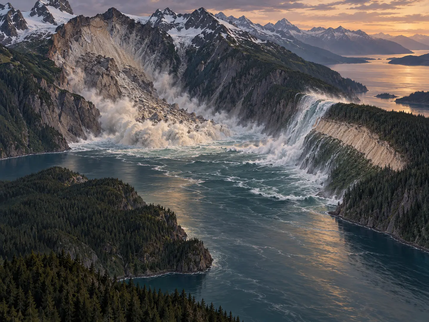
On July 9, 1958, a magnitude 7.8 earthquake ruptured about 125 miles of the Fairweather Fault. At the head of Lituya Bay, rock fell into Gilbert Inlet and displaced the water below. The narrow geometry of the inlet focused the first surge against the opposite slope.
The clearest measurement came from the trimline left on the hillside. Trees and soil were removed to an elevation of about 1,720 feet, or 524 metres, above sea level. This figure describes the maximum runup on land. It does not mean a 1,720-foot wall of water traveled the full length of the bay.
A wave more than 100 feet high moved down the bay. Three fishing boats were present. Two rode through the event and escaped; the third was lost with two people aboard. The earthquake caused five deaths in the region, all on the water.
Geologist Don J. Miller had documented evidence of earlier giant waves in Lituya Bay before 1958. His fieldwork after the event connected the new trimline, eyewitness accounts, and the rockfall scar. The case helped establish landslide-generated tsunamis as a distinct hazard in steep coastal inlets. Modern models refine the sequence, while the measured landscape remains the essential record.