YOUR NEXT DISCOVERY/Places to exploreFollow your curiosity
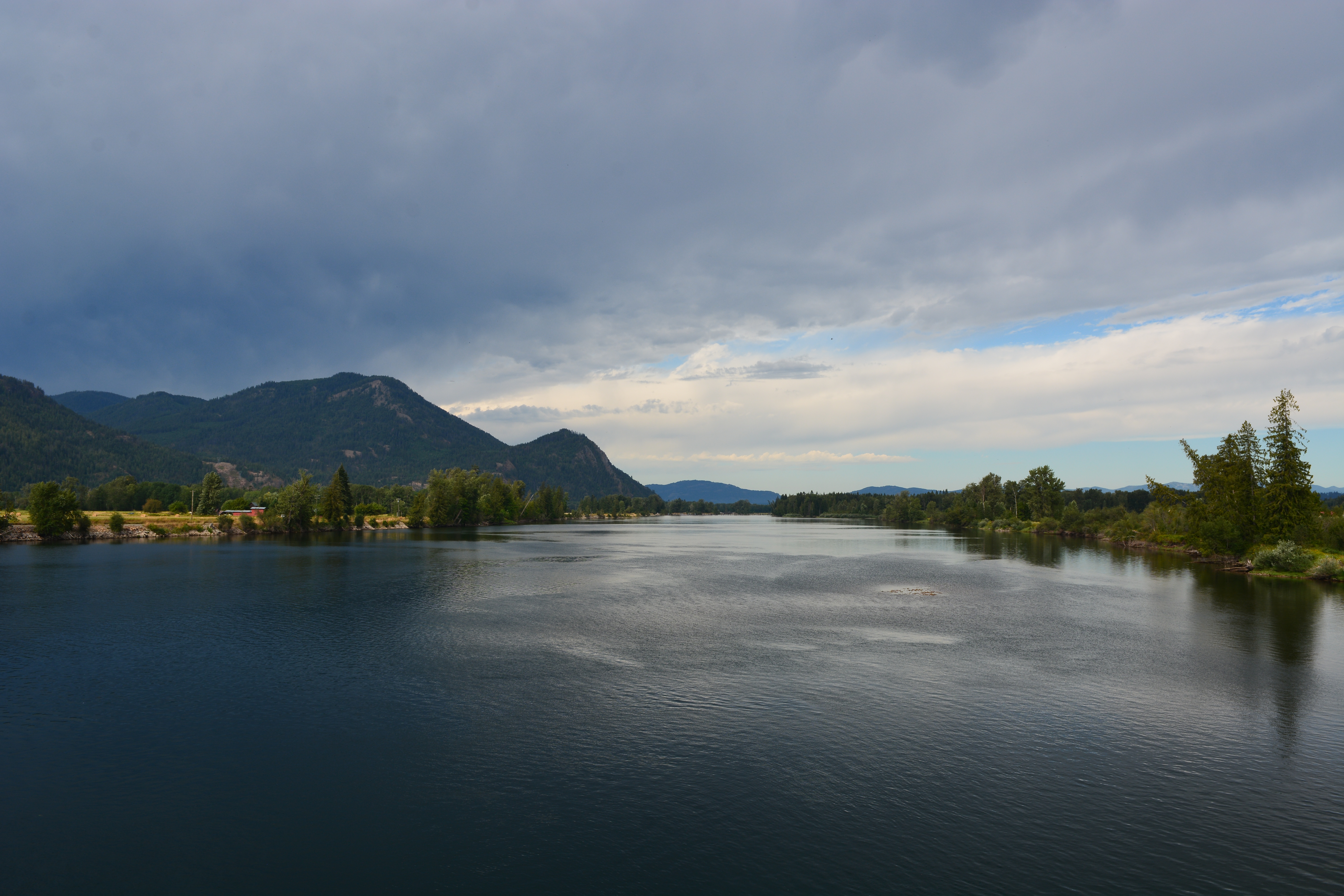
Clark Fork River with Green Monarch Ridge in the background
National Park Service · public domain · Reuse terms

WA,OR,ID,MT / Visit the source

Clark Fork Ice Dam

Clark Fork Ice Dam

An overlooked place within Ice Age Floods: Clark Fork Ice Dam.

12,000 to 17,000 years ago a 4000' tall ice dam blocked the path of the Clark Fork River creating glacial Lake Missoula. During the Ice Age Floods this ice dam failed, releaseing more water then is held in modern day Lake Ontario and Lake Erie combined. 600 cubic miles of water rushed through this area and down Lake Pend Oreille destin for the Pacific

SERENDIPITYA little unexpected
FamiliarWeird

The National Park Service documents Clark Fork Ice Dam within Ice Age Floods.

12,000 to 17,000 years ago a 4000' tall ice dam blocked the path of the Clark Fork River creating glacial Lake Missoula. During the Ice Age Floods this ice dam failed, releaseing more water then is held in modern day Lake Ontario and Lake Erie combined. 600 cubic miles of water rushed through this area and down Lake Pend Oreille destin for the Pacific

Use the park’s current information for access, conditions, and visitor guidance before making plans.

National Park ServiceClark Fork Ice Dam

Original explanation based on the sources above. Images carry their own reuse terms.